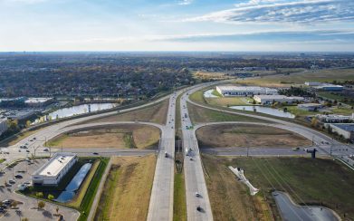
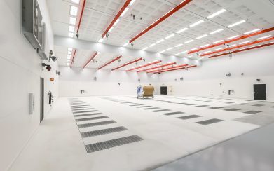
Survey Services
Successful projects begin with accurate information. Surveying is not about the process, it’s about the flawless interpretation of information. That’s where our expertise and training benefits you the most. Whether surveying for private companies, federal agencies or local public authorities, Professional Engineering Consultants (PEC) surveyors’ precise instrumentation and experienced crews supply the digital data necessary for seamless design. PEC crews are equipped with the latest technology in automated data collection and measurement systems, including 3D laser scanning for immediate transfer.
Our staff uses global positioning satellite (GPS) receivers to coordinate calculations and employs the latest robotic survey equipment. Where appropriate, rapid data collection methods such as airborne LiDAR or photogrammetry/aerial mapping is completed using drones. All our drone pilots are FAA Part 107 certified to meet the requirements for commercial UAS operations. No matter the project, our survey team will use experience and capabilities to provide you an efficient and accurate solution.


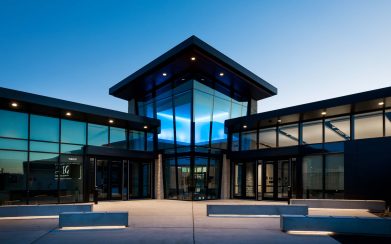
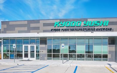
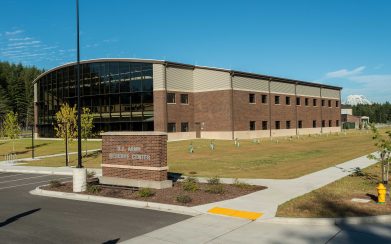
PEC Projects


So Much More
Don’t get us wrong, we love our website, but there’s no way you can get the full PEC experience without talking to us or meeting us. Let’s set something up.