Insights
Surveying Explained: Tools, Techniques, and Why It Matters
Work on a project begins long before machinery arrives, dirt begins to move, and concrete is poured. That work truly starts with understanding the land on which the project is being built. Surveying is the craft that sets the stage and ultimately saves you both time and money across the life of a project.
What is Surveying?
Surveying is how we map and measure the land and all its features. From topographic maps to boundary surveys, to property and right-of-way surveys, surveying is a crucial first step for every project. At Professional Engineering Consultants (PEC), our experienced surveyors use precise instrumentation to provide the most accurate data possible.
Technology in Surveying
The world of technology is constantly evolving, and it is important for survey work to keep up. As part of our survey services, PEC utilizes some of the most advanced methods available.
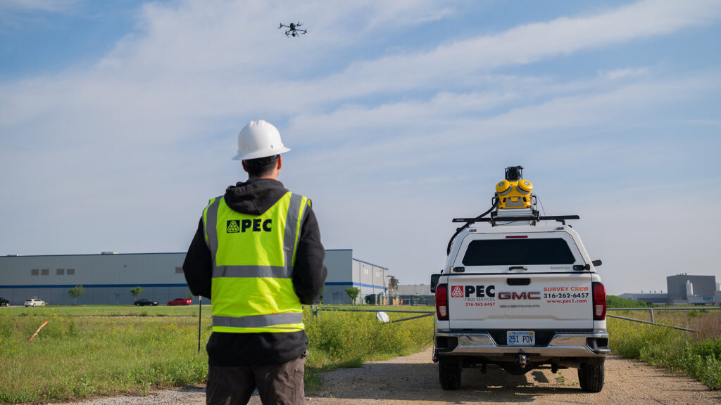
- GPS – While most everyone is familiar with GPS technology for navigation; it is also the industry standard for surveying. GPS survey equipment can receive signals instantly to create a map of an area, determine positioning, and obtain information such as location, distances, and height measurements.
- Mobile LiDAR – Mobile LiDAR uses survey-grade GPS and laser scanners mounted on a vehicle to capture millions of data points per second. This is ideal when speed is important, and it makes surveying large infrastructure and transportation projects more efficient.
- Drone – PEC utilizes drones for fast, efficient aerial mapping and topography. Drones are a great option for rapid data collection across large areas. PEC’s drone pilots are FAA part 107 certified for commercial operations.
Accurate Data is Essential
With the help of the latest technology, PEC’s surveyors follow strict checks and protocols so engineers can design projects with confidence. Making sure the data collected during the survey is accurate and reliable is vital to the success of the project. Without survey data, a new building construction could encroach on a neighboring property, or road construction could experience drainage issues. Having accurate survey data can help you meet project timelines and budgets.
In engineering, every detail matters. Surveying is all about making sure those details are accurate. Whether guided infrastructure for a community or defining boundaries for new developments, surveyors provide the crucial data these projects rely on.

