Insights
How Mobile LiDAR is Moving Surveying Forward
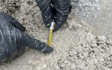
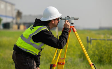
When it comes to surveying, accuracy and speed is paramount, so tools such as mobile LiDAR (Light Detection and Ranging) can be a valuable technology to utilize. Mobile LiDAR, also known as mobile mapping, can bring precision and efficiency to mapping and surveying services. This technology uses survey-grade GPS and laser scanners (typically mounted to a vehicle) to capture accurate and hi-res 3D data, making large infrastructure, construction, and transportation projects more efficient and safer.
What is Mobile LiDAR?
Mobile LiDAR is a remote sensing tool that uses light detection and ranging technology to measure objects. The system uses laser pulses and GPS to capture millions of data points per second. Unlike traditional LiDAR systems, mobile LiDAR is mounted on a moving vehicle so it can map large areas in a short amount of time. This makes creating 3D digital models of roads, bridges, buildings, and other infrastructure more efficient.
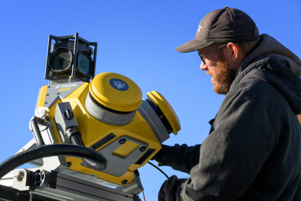
A mobile LiDAR system typically includes laser scanners, a Global Navigation Satellite System (GNSS) to receive precise location data, inertial measurement units (IMUs) to account for the movement of the vehicle, and cameras to capture imagery that can be synced for additional context.
Mobile LiDAR Benefits
- Speed and efficiency: A mobile LiDAR system can cover miles of terrain in a fraction of the time compared to traditional surveying methods.
- Highly accurate and rich data: With proper calibration and control points, a mobile LiDAR system can achieve precision down to the centimeter. It can also generate point clouds that are incredibly dense and detailed.
- Safety: Because data is collected from a moving vehicle, there is less of a need for crew members to work in active roadways or hazardous areas. This reduces the risk of injury and enhances project safety.
- Cost-effective over time: Initial costs for mobile LiDAR can be higher than traditional surveying tools, but the costs quickly pay off with faster data collection, reduce labor hours, and fewer project delays.
When Can Mobile LiDAR be Used?
Because it is able to provide fast and accurate geospatial data, mobile LiDAR can be used for many transportations and department of transportation (DOT) projects including roadway mapping, pavement analysis, and asset inventory. In the context of construction and engineering, mobile LiDAR can be used for pre-design surveys, monitor progress, and create as-built documentation. It can also be used for urban planning such as 3D city modeling, zoning analysis, and public works planning.
Whether you’re a surveyor, planner, or contractor, mobile LiDAR offers accurate and timely data to help streamline your project.