Survey Engineering

Where it All Starts
Successful projects start with accurate information, which is what the surveyors at Professional Engineering Consultants (PEC) provide. Whether surveying for private companies, federal agencies or local public authorities, our surveyors’ precise instrumentation and our experienced staff supply the accurate data necessary for seamless design.
- Precise Instrumentation
- Automated Data Collection
- High Accuracy Measurement Systems
- Experienced Crews
Survey Field Services
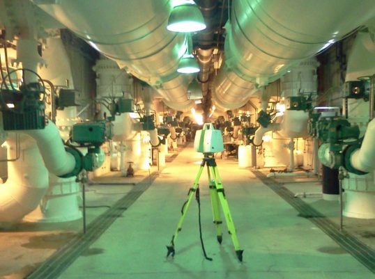
PEC crews are equipped with the latest technology in data collection and measurement systems, including 3D laser scanning. Our staff uses global positioning satellite (GPS) receivers and employ the latest robotic survey equipment.
Our survey team emphasizes experience and training to get it right the first time for all our survey-related services including:
- 3D Laser Scanning and Data Management
- Topographic Mapping and Site Surveys
- Property, Right-of-way and Boundary Surveys
- Property and Easement Descriptions
- Construction Staking
- Ground Control for Aerial Photography
- Preliminary Engineering Design Surveys
- ALTA/NSPS Land Title Surveys
- Architectural Surveys
- Lot Surveys and No-start Certification
- Route Surveys
- As-Built Surveys
- Volumetric Surveys

What Sets PEC Apart
Surveying is not about the process; it’s about the flawless interpretation of information. That’s where our size and training benefits you the most. Since 1973, our survey division has been creating confidence in projects throughout the country.
Let’s Talk
We’re just a phone call or message away. Contact PEC headquarters at 316.262.2691 or visit our contact page to get started.